Airport
https://www.oregon.gov/aviation/Pages/Siletz-Bay.aspx
In 1971, Siletz Bay State Airport was constructed on donated land, with funding provided by the Board of Aeronautics and the FAA. The airport is located east of U.S. Route 101, approximately one mile east of Gleneden Beach and the Pacific Ocean. The airport was constructed as part of the State's coastal airport system.
The Siletz Bay area is primarily a recreational area with numerous vacation resorts located throughout. Due to it's status as a NPIAS airport overnight camping is not permitted at Siletz Bay. However, c amping is available at the State parks north and south of the airport. Siletz Bay State Airport provides support to its community and the recreation areas that surround the area. Many of the aircraft that frequent the airport are turboprop and jet aircraft. The location of the airport also allows for continuation of the Oregon coastal airport system. Because of its importance to the community, Siletz Bay State Airport is categorized as a Level 3 airport.
Location: 6700 N. Hwy. 1, Gleneden Beach, OR 97367 Lat/Long: 44-52.66N / 124-01.71W CTAF: 122.7 Elevation: 62' Lighting: MIRL Runway: 17/35 Length: 3,300' Width: 60' Surface: Asphalt Fuel: None
Crescent Lake - CLOSED FOR RECONSTRUCTION


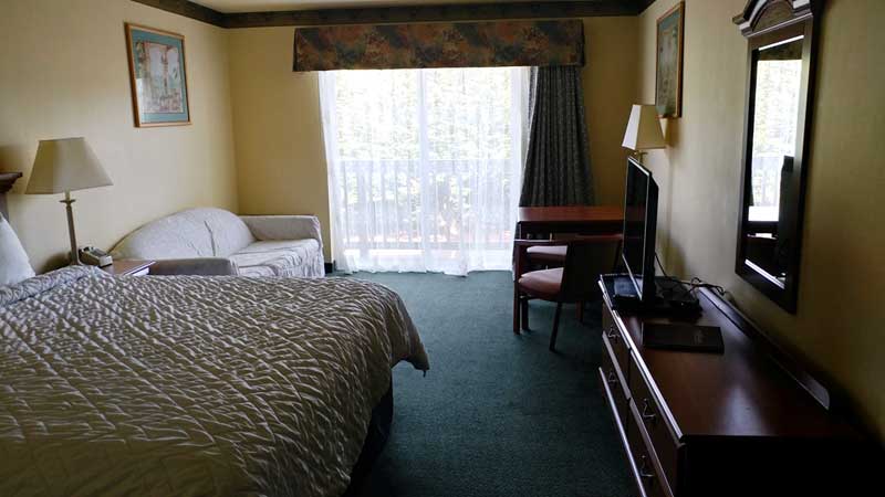
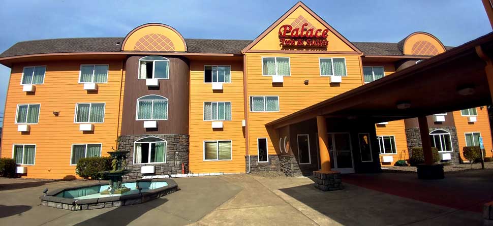
Palace Inn and Suites
(866) 996-9466550 SE Highway 101
Lincoln City, OR 97367
Web Accessible Site